Bucharest mayor: Real-time information on public transport, available on Google Maps
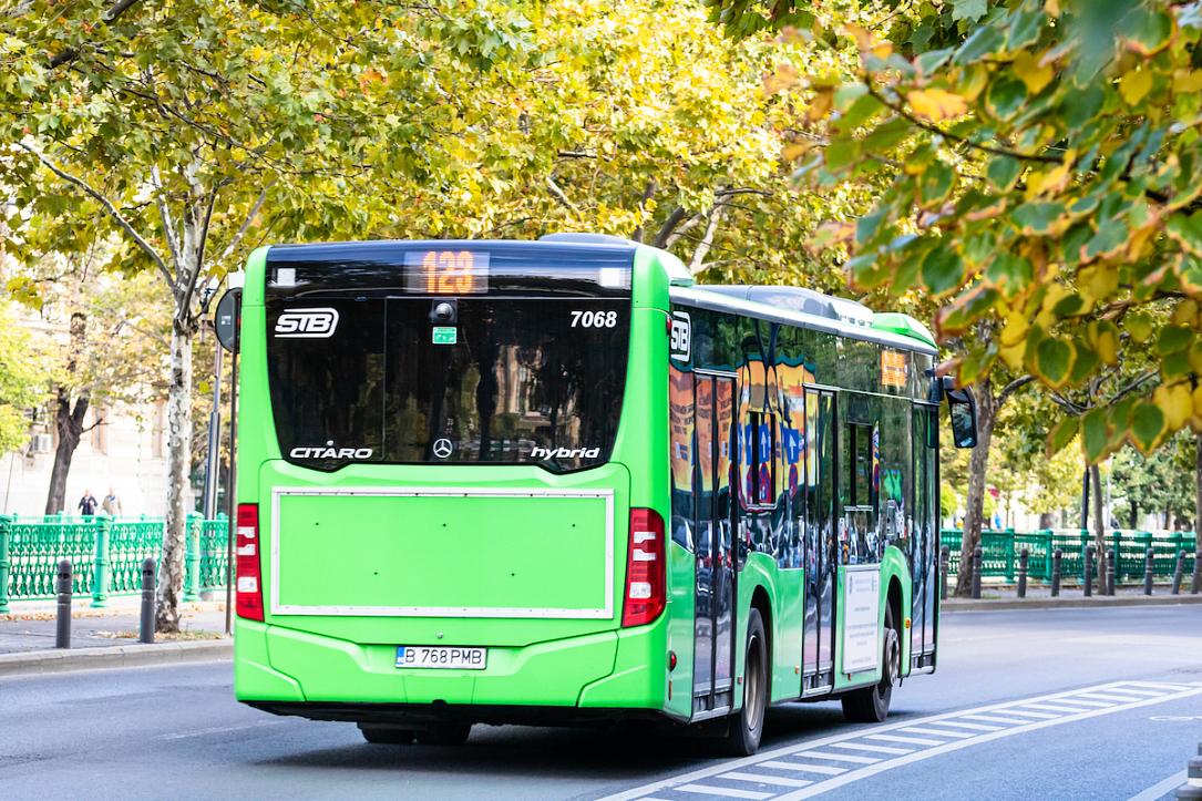
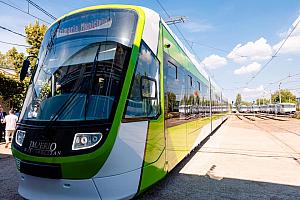
Bucharest residents or tourists using public transport in the Romanian capital can now get real-time information about their bus or tram on the Google Maps app, mayor Nicusor Dan announced. The application calculates the best route to the final destination, including metro and/or train options.
“Travellers who use the capital’s public transport can see on the Google Maps app, starting today, where exactly the bus, tram or trolleybus they are going to take is on the route,” Nicusor Dan said in a Facebook post on March 29.
“Intermodality is both a novelty and a great advantage for passengers, who can choose or change their route according to waiting times,” he added.
The mayor also explained how this works: the GPS location data of the public transport operators in the Bucharest - Ilfov region are transmitted in real time to Google, and any user of the Maps application can access them.
“Thus, we align with the big European capitals in terms of informing travellers who use public transport. With the same application, travellers can guide themselves in any of the major cities in Europe,” Nicusor Dan also said.
Earlier this month, mayor Dan also said that roughly 1,000 public transport stations in Bucharest, out of the city’s total of 2,271, would be equipped with digital information panels. Thus, passengers will be able to view the vehicles’ real-time arrival times and the available route options.
irina.marica@romania-insider.com
(Photo source: Vlad Ispas | Dreamstime.com)