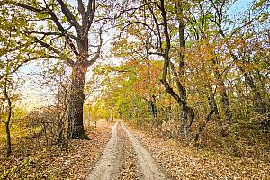
Romania to use satellite images to monitor forests
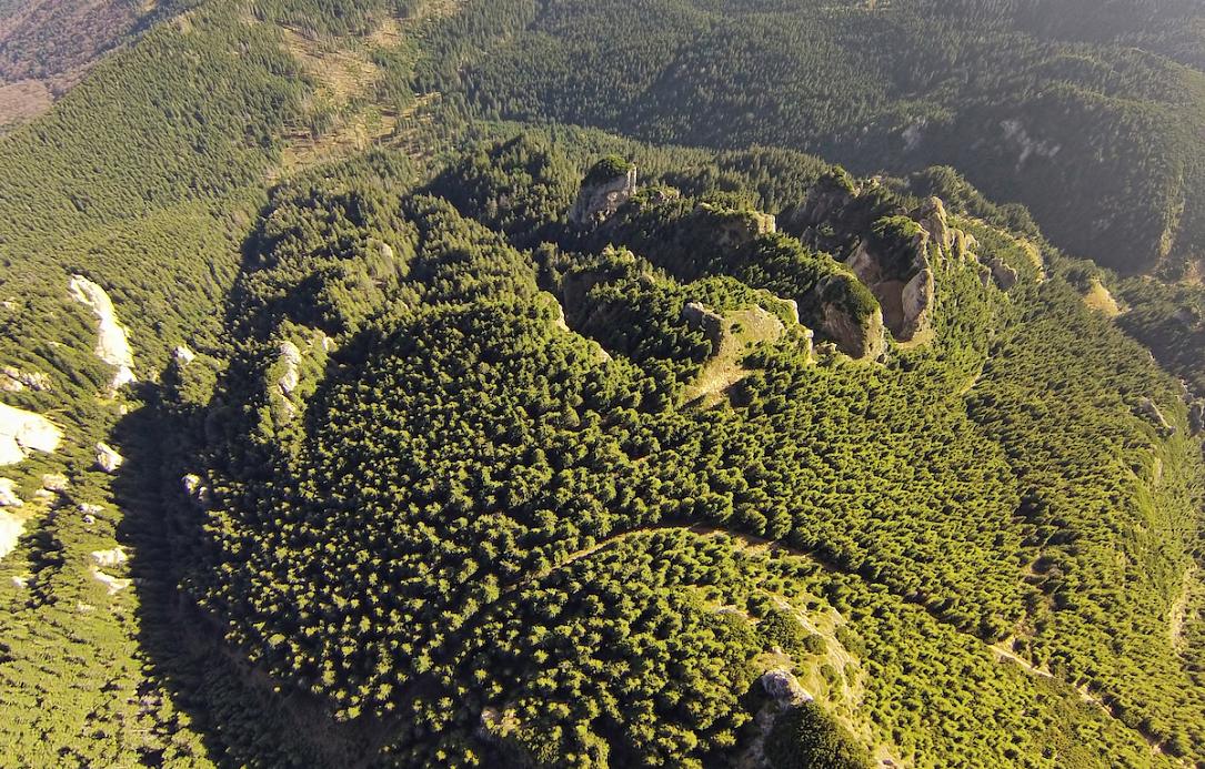
The Romanian Ministry of Environment said an association of companies won the contract to develop a forest monitoring system that uses satellite imagery to track cuttings in local forests. The contract has a value of over RON 37 million, VAT included.
The winning offer was submitted by the association of Rartel SA (leader), Essensys Software, Terrasigna SRL, and e-GEOS S.p.A.
“This contract involves the development of a system that will analyze successive satellite images to identify areas where the forest has disappeared. They will be compared with the SUMAL database to establish the legality of the cuts made in the respective perimeters. In the cut areas for which data is not found in SUMAL, alerts will be generated for additional checks with the help of a secondary set of high-resolution satellite images or field teams,” explained environment minister Mircea Fechet.
The field teams will use off-road vehicles and drones with optical, thermal and LiDAR sensor cameras.
“The technical capacity of the ministry and the forest guards will be strengthened by providing 15 high-performance workstations and 15 laptops that will allow advanced analyses to be carried out on site. All these investments will bring Romania alongside the countries that use the most modern technologies for monitoring the state of forests,” minister Fechet stated.
Earlier this month, the Environment Ministry also launched the tender for the development of a national video monitoring system of wood transports under a contract estimated at EUR 8.9 million. The system will use artificial intelligence-assisted video cameras interconnected with the timber tracking system SUMAL.
irina.marica@romania-insider.com
(Photo source: Johnypan/Dreamstime.com)