


Google Street View cars back on Romanian roads
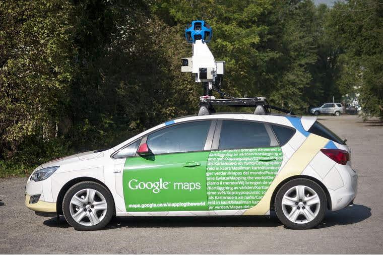
The Google Street View cars will return to Romania this summer for updates to local Google Maps images. They will mainly take photos of roads connecting localities in Romania, a press release said.
The cars’ trip in Romania will start on June 25 and will take two months.
Street View is a popular Google Maps service, currently available in more than 85 countries all over the world, including the Artic and Antarctica. In Street View, people can see 360° images from many places in the world, including roads, cities, historical monuments, cultural landmarks, wildlife (on the earth and on or in the water) and even in space. The service is also available in Google Earth and Google Maps for mobile phones.
Street View has been available in Romania since 2010, when the first images of the most important cities were published on Google Maps. Street View coverage across the country took place in 2012 when photos were taken on 40,000 km of roads, 39 cities and hundreds of sights. The Street View expansion in Romania continued constantly, with images from major cities being updates and new tourist attractions such as Turda Salt Mine Bran Castle, Alba Iulia Fortress, Brukenthal National Museum or the Danube River being added to the list.
In this period, Street View images are taken in the Danube Delta, a project developed in collaboration with the World Wide Fund Romania organization. Also, in the coming period Street View images from different tourist attractions in Transylvania will be published on Google Maps.
Irina Marica, irina.marica@romania-insider.com
(photo source: Google)


